|
[1 [5 N, z% \1 m U" v8 @ 点击蓝字
5 [4 \$ }% C R F 关注我们
/ ?* U' O5 e7 V# ` 文章发表于 : [5 V# g$ y. i. V* w
Ocean and Coastal Management 223 (2022) 106136 9 P7 r7 r9 [' h: U' W- S
文章链接:
6 A g4 }# H' J/ b: v$ L) x https://www.sciencedirect.com/science/article/pii/S0964569121001265
Y, T! K! G: `0 x) j. p3 u( w 文章标题: 9 i3 }$ I7 H. a9 M6 }
Mapping coastal fishing grounds and assessing the effectiveness of fishery 5 t- u F |- R( l( Z8 \
regulation measures with AIS data: A case study of the sea area around the
; e ]2 X l" C' y# `6 ?# V$ P Bohai Strait, China
X+ f& c* C0 A) Z) W 文章导读 / F1 v/ r1 V8 W" `9 ~. ]% n
中国是世界上最大的海洋鱼类和渔业产品生产国,其海洋渔业的可持续发展对全球海鲜供应的粮食安全至关重要。2018年,中国渔业总产量达到6220万吨,占全球鱼类供应量的三分之一以上。环渤海海峡海域位于中国北方,是传统的渔业资源分布区。由于过度捕捞、陆源污染等因素,渔业资源下降更为严重,引起了地方政府的关注。自1978年中国经济改革以来,已经实施了一系列措施,包括陆基污染防治、存量增加和海洋空间使用管理,以管理和恢复海洋生态环境和渔业资源。经过40多年的渔业资源管理和恢复,问题依然存在:环渤海海域渔业活动的分布和渔业监管措施的实施效果如何?本研究旨在解决这些问题。 # ]% v: j$ k6 y' r2 j+ V% O+ I
文章摘要 . e" i/ U; ?! |' m+ j9 f" w5 R
AIS数据为揭示海洋捕捞活动的分布、评估海洋生态压力以及制定和改进渔业监管措施提供了良好的数据来源。本研究提出了一种将核密度估计(KDE)与热点分析(HSA)相结合的渔场快速制图方法。然后,以中国环渤海海峡沿岸海域为例,利用自动识别系统(AIS)数据绘制了该海域的渔场图,并对渔政措施的有效性进行了分析。结果表明,环渤海海域渔业活动具有明显的月、季变化和空间异质性。渔业监管措施,如夏季休渔、加强种群、海洋功能区划和靠近机动底拖网的沿海地区,对渔业活动产生了一定的限制性影响。中国大力恢复沿海渔业资源,规范捕捞活动,促进渔业可持续发展,改善海洋生态环境。
, p& g7 [ i% J& x0 U; h; g" z 原文信息   d2 G) q6 d7 B% W$ B2 X d2 G) q6 d7 B% W$ B2 X
图1.环渤海海峡海域的位置  7 X$ Q5 Z9 R) J! E6 a! z 7 X$ Q5 Z9 R) J! E6 a! z
图2.技术工作流程  3 v5 C8 |/ k5 D
 图3.基于高斯混合模型的渔船航速分布  . n+ g* z" Y E6 Z% d5 i' E$ N . n+ g* z" Y E6 Z% d5 i' E$ N
图4.不同测绘方法下的渔场分布。GiZScore值的大小解释了聚类的强度。高正GiZScore(>1.96)表示热点,而负低GiZScore(<-1.96)表示冷点和接近零的值(−1.96–1.96)表示具有显著性的聚类的随机分布  " Y6 Q' k' D" |
 表1.不同测绘方法渔场基本特征统计表  / i( Z) Z( v- N- q( q6 Z- }
 图5.2018年1月至12月,使用KDHSA方法对渤海海峡周围渔场的分布进行了分析  " ?% L- |, D: C X7 n9 d " ?% L- |, D: C X7 n9 d
表2.2018年1-12月渔场基本特征统计表  8 I/ V9 z, Q q1 R# \' d
 图6.2018年四季渔场分布椭圆注:SPDC、SUDC、AUDC和WIDC分别代表春季、夏季、秋季和冬季的分布中心;SPDE SUDE、AUDE和WIDE分别代表春季、夏季、秋季和冬季的分布椭圆  $ ^; H' E3 X6 q2 i# h* T. A $ ^; H' E3 X6 q2 i# h* T. A
图7.休渔期调整前后不同年份5月份渔场分布情况  + h5 O6 f/ Y2 s% a& X' U3 M
 图8.海洋功能区划、靠近机动底拖网的海岸带和渔场分布之间的关系 % p/ C0 @" K9 X) J$ O# q
ABSTRACT + i$ c3 ?4 u. R# r
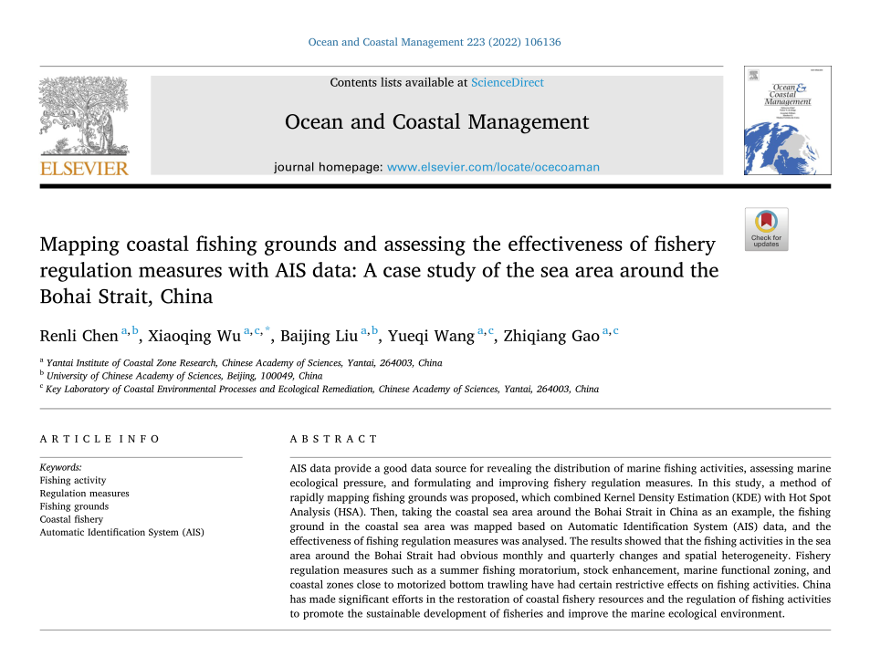
AIS data provide a good data source for revealing the distribution of marine fishing activities, assessing marine ecological pressure, and formulating and improving fishery regulation measures. In this study, a method of rapidly mapping fishing grounds was proposed, which combined Kernel Density Estimation (KDE) with Hot Spot Analysis (HSA). Then, taking the coastal sea area around the Bohai Strait in China as an example, the fishing ground in the coastal sea area was mapped based on Automatic Identification System (AIS) data, and the effectiveness of fishing regulation measures was analysed. The results showed that the fishing activities in the sea area around the Bohai Strait had obvious monthly and quarterly changes and spatial heterogeneity. Fishery regulation measures such as a summer fishing moratorium, stock enhancement, marine functional zoning, and coastal zones close to motorized bottom trawling have had certain restrictive effects on fishing activities. China has made significant efforts in the restoration of coastal fishery resources and the regulation of fishing activities to promote the sustainable development of fisheries and improve the marine ecological environment.
4 S& _3 W4 L4 K3 z' Q KEYWORDS & g/ S0 G/ b7 L7 ]5 o) u
Fishing activity ;
3 R* H% z) Q t( ?8 P Regulation measures ; * A3 }/ j `, W) L3 h0 G% y$ r
Fishing grounds ; " A0 |: ~( M, [) \
Coastal fishery ; + A6 \$ c# d1 h3 M# ?
Automatic Identification System (AIS) : M( ~! A8 h( {0 t7 n
推荐阅读
) l1 H" H) r+ v, T1 R9 q 期刊主页
# O: \- V( O4 N0 [0 o9 f OCMA期刊编辑专家团队 ) k5 D/ a( Y, b* W* q0 |6 u& ~
官宣!Ocean & Coastal Management 最新Aims & Scope
) r* P1 l# D6 r+ l! L; M 关注!Ocean & Coastal Management 是SCI /SSCI双检索期刊
1 l- c7 K0 f7 m& {9 k% P Call for Papers on the Special Issue in RSMA
/ W j T4 Z. S. N 本期编辑
" S( I+ D) A# `( U9 a# ~ 上海海事大学研究生 李子牧 ' d$ ?- j7 }& y- A+ B4 i. N: p
- u: j1 \. h3 x3 z9 ~ 深圳大学研究生 黄秀桃 ' e! z8 H/ S; w, K9 m
研究方向:国际海事发展治理  + ]0 ]) y/ Z, d- T8 x" X6 z6 x
0 B" R9 G( Z" P, v3 D- f0 \$ D& W1 Z2 p4 G
| 

